|
|
|
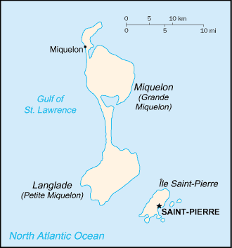
Marais du Bois Brûle
Weather Marais du Bois Brûle (Cloud cover, Temperature, Wind speed and Precipitation mm probab.)
Map and Photos Marais du Bois Brule
Comments
Add a new comment: |
Members area
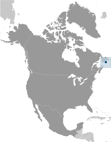
Saint Pierre And Miquelon [ France ] (Overseas Territory):
Advertisement
GPS points near Marais du Bois Brûle
 Tetons de la Mere... (0.5km)
La Ferme Olivier (0.5km)
Etang Ynachi (0.5km)
Le Goelette (0.5km)
Coin du Sable (0.5km)
Anse de la Belle Croix (1 km)
Etang Chaignon (1 km)
Anse a Capelan (1 km)
Butte au The (1 km)
Etang Goeland (1 km)
Anse a Yvon (1 km)
Pointe au Gendarme (2 km)
Belle (2 km)
Belle Riviere (2 km)
La Colline (2 km)
Commune de... (2 km)
La Dune (2 km)
Tetons de la Mere... (0.5km)
La Ferme Olivier (0.5km)
Etang Ynachi (0.5km)
Le Goelette (0.5km)
Coin du Sable (0.5km)
Anse de la Belle Croix (1 km)
Etang Chaignon (1 km)
Anse a Capelan (1 km)
Butte au The (1 km)
Etang Goeland (1 km)
Anse a Yvon (1 km)
Pointe au Gendarme (2 km)
Belle (2 km)
Belle Riviere (2 km)
La Colline (2 km)
Commune de... (2 km)
La Dune (2 km)
GPS points from Saint Pierre And Miquelon [ France ] (Overseas Territory)
|